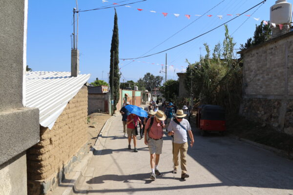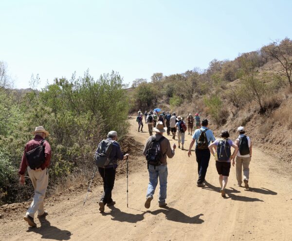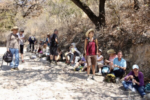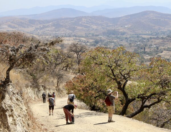
The rolling hill country on the west side of the Etla Valley is very scenic and a delight to both hikers and mountain bikers. It is a beautiful area at any time of the year, but especially so in the fall when the hillsides and farm fields are at their greenest. Both San Andrés Ixtlahuaca and San Felipe Tejalápam are a bit off the beaten path, and so do not see many visitors. As the hike route is exposed to the full sun the whole way, participants should wear hats and use sunscreen. The map below shows our route. It runs 5.3 miles (8.5 kms) and offers some great views of the surrounding countryside.
Time frame: 8:30 depart Llano Park / 9:30 start hike in San Andrés Ixtlahuaca / 12:00 end hike in San Felipe Tejalápam / 12:45 stop for lunch in local restaurant / 2:30 return to Oaxaca.