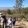
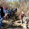
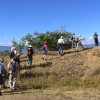
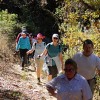
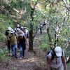
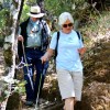
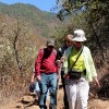
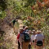
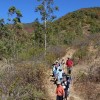
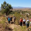
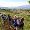
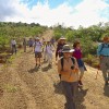
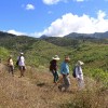
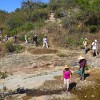
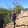
There is an abundance of hiking and mountain biking trails in the hills above San Pablo Etla. The challenge is to find the best one. We have hiked in the area every year, using several different routes. This season we will follow the course used for an annual mountain bike race. The loop trail flows up and down over 3.5 miles (5.6 km) as it skirts along the base of the mountains on the east side of town, using a combination of single track and dirt roads. Though not very high in altitude, the trail affords some nice vistas of the Etla Valley. The elevation gain and loss along the way amounts to 575 feet (175 meters), but there are some moderately steep sections.
To see other trails in the San Pablo area (descriptions, maps & photos), check out our sister web site for mountain bikers: www.OaxacaMTB.org.
You might also be interested in seeing film footage of lynx, mountain lions and coyotes in the San Pablo Etla mountain park, compliments of the wildlife conservation folks in San Pablo. Go to http://www.youtube.com/watch?v=aSvRQ5ceJd0&feature=c4-overview&list=UUU8snOSu7i-xm0oQhVUEpMQ to see the video.
Time frame: 8:30 depart Llano Park / 9:30 start hike in San Pablo / 12:30 lunch at an outdoor comedor in San Pablo / 1:15 board van / 2:15 return to Oaxaca.

