-
Archives
- December 2024
- November 2024
- September 2024
- June 2023
- November 2022
- September 2022
- August 2022
- July 2022
- February 2022
- October 2021
- May 2021
- January 2021
- March 2020
- October 2019
- May 2019
- May 2018
- April 2018
- March 2018
- July 2017
- May 2017
- November 2016
- September 2016
- May 2016
- October 2015
- May 2015
- April 2015
- March 2015
- September 2014
- June 2014
- May 2014
- March 2014
- September 2013
- May 2013
- March 2013
- February 2013
- January 2013
- December 2012
- November 2012
- October 2012
- September 2012
-
Meta
Monthly Archives: November 2012
Guacamaya – More Information
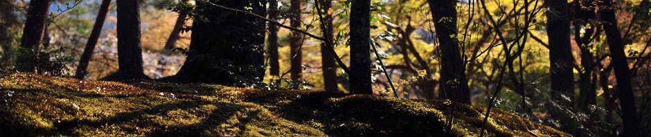
Guacamaya is a small community in a mountain setting 23 miles (37 km) north of Oaxaca City. Perched precariously on the side of a mountain in a luxuriant valley, the village is dependent on visitors who come to the area … Continue reading
Posted in GPS, Hiking, Outing, Photos
Leave a comment
Benito Juarez to La Neveria – More Information
The trek from the village of Benito Juarez to La Neveria rated “difficult” is a true mountain hike. GPS data shows the route runs 5.1 miles (8.7 km), with a drop in elevation of 1855 feet (565 meters) and a … Continue reading
Posted in GPS, Hiking, Photos
Leave a comment
Zaachila & Cuilapam – More Information
Zaachila has been an active Zapotec community since about 2000 BCE. It likely began as a small farming village and remained so for most of the thousand years before Monte Alban came into existence. During that time the dominant city … Continue reading
Posted in Archaeological, GPS, Hiking, Photos
Leave a comment
San Felipe del Agua Bike Trails – More Information
In the minds of some visionaries, Oaxaca has the potential to become the kind of mountain biking Mecca that Moab is in Utah or Fruita is in Colorado. Mother Nature has provided the terrain and the climate. There are already … Continue reading
Posted in GPS, Hiking, Outing, Photos
Leave a comment
Dainzu to Tlacochahuaya – More Information
Dainzu is a small archeological site that sits on the floor of the Tlacolula Valley – the eastern of the three connecting valleys that together form the Valles Centrales of Oaxaca state – about 25 kilometers (16 miles) from the … Continue reading
Posted in Archaeological, Folk Art, GPS, Hiking, Outing, Photos
Leave a comment
Rojas de Cuatemoc
Visitors to Oaxaca who are looking to explore the area by bicycle may very well enjoy an easy ride into the countryside to get a sense of the rural communities that dot the Valles Centrales. Bikes can be rented from … Continue reading
Posted in GPS
Leave a comment
San Pablo Etla Loop Ride
There are many trails in the communal park lands adjacent to San Pablo Etla that cry out to be ridden by mountain bikers. The track shown on the map below is one of the several loop rides that can be … Continue reading
Posted in Uncategorized
Leave a comment
San Pablo Etla Mountain Park
San Pablo Etla, like all the communities abutting the mountains around Oaxaca city, lays claim to communal land rising from the town up the neighboring hillsides. In recent years (2008-2012) various people in the village have worked together to create … Continue reading
Posted in Uncategorized
Leave a comment
San Sebastian Teitipac
Bike rides to villages in the Tlacolula Valley to the east of Oaxaca City are generally easy affairs. The terrain is mainly flat, and there is a good network of dirt roads linking the many small communities. It is a … Continue reading
Posted in Uncategorized
Leave a comment
La Neveria to Latuvi – More Information
The hike from La Neveria to Latuvi takes place in an area of the Sierra Norte called the Pueblos Mancomunados, located approximately 56 Km (35 miles) east of Oaxaca city. This is a region of communally-owned land shared by the … Continue reading
Posted in GPS, Hiking, Photos
Leave a comment