-
Archives
- December 2024
- November 2024
- September 2024
- June 2023
- November 2022
- September 2022
- August 2022
- July 2022
- February 2022
- October 2021
- May 2021
- January 2021
- March 2020
- October 2019
- May 2019
- May 2018
- April 2018
- March 2018
- July 2017
- May 2017
- November 2016
- September 2016
- May 2016
- October 2015
- May 2015
- April 2015
- March 2015
- September 2014
- June 2014
- May 2014
- March 2014
- September 2013
- May 2013
- March 2013
- February 2013
- January 2013
- December 2012
- November 2012
- October 2012
- September 2012
-
Meta
Category Archives: Hiking
Llano Grande – More Information
Of all the villages of the Pueblos Mancomunados, Llano Grande perhaps has the most unique charm, seeming to be a place removed from the normal parameters of space and time. It is a great place to go hiking or mountain … Continue reading
Posted in GPS, Hiking, Photos
Leave a comment
El Picacho – More Information
The name Teotitlán comes from Nahuatl and means “land of the gods”. Its Zapotec name is Xaguixe, which means “at the foot of the mountain”. It is known for its textiles, especially rugs, which are woven on hand-operated looms from wool dyed mainly with local, natural … Continue reading
Posted in Folk Art, GPS, Hiking, Photos
Leave a comment
Cinco Señores – More Information
Hard rock miners were an industrious and inventive lot. Nowhere is this more evident than in the crumbling ruins of the Cinco Señores and Socorro haciendas along a mountain stream that runs between Yavesia and Amatlan in the region of the … Continue reading
Posted in GPS, Hiking, Photos, Uncategorized
Leave a comment
Capulálpam – More Information
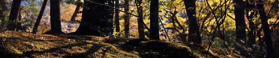
Today’s outing is a pleasant walk through the forest on an undulating logging road that eventually becomes a single track trail along a stream. The road is wide and well graded, making for easy going through the woods. The main … Continue reading
Posted in GPS, Hiking, Photos
Leave a comment
Apoala – More Information
A visit to Apoala is akin to stopping at a Hobbit village in Middle Earth — it gives the sense of being a world apart. Physically isolated in a deep valley, the small village of about 200 Mixtec Indians gets … Continue reading
Posted in Hiking, Outing, Photos
Leave a comment
Jalapa del Valle – More Information
The short, narrow valley that encompasses the villages of Cienequilla and Jalapa del Valle is a little piece of Eden. Thanks to the Rio Jalapilla which carries fresh water year ’round, local farmers are able to irrigate their fields which, … Continue reading
Posted in GPS, Hiking, Photos
Leave a comment
Huayapam – More Information
The Huayapam hike is one of the most popular of the season because there are two hikes – one moderate, the other more challenging (see maps below) – taking place at the same time. Those wishing a pleasant stroll through … Continue reading
Posted in GPS, Hiking, Photos
Leave a comment
Santa Ana del Valle – More Information
Santa Ana (also called Santa Ana Yaguiza) is a Zapotec community of approximately 1,000 people located about three miles north of Tlacolula and twenty miles east of Oaxaca city. Like most of the villages in this area, it has very … Continue reading
Posted in Archaeological, GPS, Hiking, Photos
Leave a comment
San Bartolomé Quiliana – More Information
San Bartolomé and San Marcos, while not far from Oaxaca city, are a bit off the beaten path, located as they are at the very southern edge of the Tlacolula valley. Not many tourists venture here, though they are certainly … Continue reading
Posted in Hiking, Photos, Uncategorized
Leave a comment
San Pablo Cuatro Venados – More Information
Today’s outing in the countryside has two major sections. The first is the bus ride, which will take nearly two hours to accomplish and will give you some great views out over the Oaxaca valley as we wind our way … Continue reading
Posted in Hiking, Photos
Leave a comment