-
Archives
- June 2023
- November 2022
- September 2022
- August 2022
- July 2022
- February 2022
- October 2021
- May 2021
- January 2021
- March 2020
- October 2019
- May 2019
- May 2018
- April 2018
- March 2018
- July 2017
- May 2017
- November 2016
- September 2016
- May 2016
- October 2015
- May 2015
- April 2015
- March 2015
- September 2014
- June 2014
- May 2014
- March 2014
- September 2013
- May 2013
- March 2013
- February 2013
- January 2013
- December 2012
- November 2012
- October 2012
- September 2012
-
Meta
Category Archives: Photos
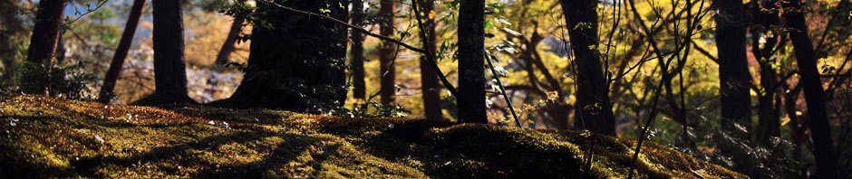
Cañon del Coyote Trail – Cuajimoloyas
Given the difficulty of this trail, we do not anticipate it being offered as one of the regular hikes in the Hoofing It In Oaxaca winter season. It may well appeal, though, to younger, stronger, more adventurous hikers. So we … Continue reading
Back way to Tule – More information
Most people hiking or biking to Tule take advantage of the paved bike path linking the village with Oaxaca. But there are more interesting and challenging ways to get there. We will explore a trail that winds over and through … Continue reading
Tlalixtac / Mil Rios Trail – More information
Mountain bikers intent on an exciting full day of downhill riding can’t do better than to shuttle up to La Cumbre and then make their way back down to Oaxaca on mountain logging roads and the Mil Rios Trail. This … Continue reading
Cieneguilla Trail – more information
The Cieneguilla Trail is a single track through the woods which runs downhill from the lake and campsite of the same name to the town of San Agustin Etla, a distance of 3.9 miles (6.3 kms), losing 2441 feet in … Continue reading
Cuajimoloyas to Llano Grande – More Information
Hikers intent of getting into the high country can’t do better than explore the trails in the Pueblos Mancomunados. These villages clustered in the Sierra Norte mountains not far from Oaxaca offer miles of scenic trails through the deep woods. … Continue reading
San Cristobal – More Information
On today’s trek we will first climb the mountain ridge on the west side of the Elta Valley in Sprinter vans, then descend back into the valley on foot. The arduous climb along a steep and twisty country road affords … Continue reading
Posted in GPS, Hiking, Photos, Uncategorized
Comments Off on San Cristobal – More Information
Latuvi to Lachatao – More Information
The out & back hike on the trail from Latuvi to Lachatao mostly follows a mountain stream and so runs mainly downhill the first half of the hike – which means the return half will be an uphill grunt. Hiking … Continue reading
Posted in GPS, Hiking, Photos, Uncategorized
Comments Off on Latuvi to Lachatao – More Information
El Carrizal Day Hike – More Information
There is a spectacularly lovely high mountain valley north of Tlacolula about 40 miles (64 kms) from Oaxaca city which is home to El Carrizal. Historically, El Carrizal is a relatively new community. The story goes that about fifty years … Continue reading
West Etla Valley – More Information
Life is quiet and unhurried in the rural reaches of the western Etla Valley. The rolling hill country there is attractive to both hikers and mountain bikers. The route of today’s hike grew out of Albi’s exploration of the area aboard … Continue reading
Santo Tomas Mazaltepec to San Felipe Tejalápam – More Information
Today’s outing is one of many similar treks through the rolling hill country of the Etla Valley northwest of Monte Alban. The point of this excursion is to get away from the hustle and bustle of the state capital and … Continue reading