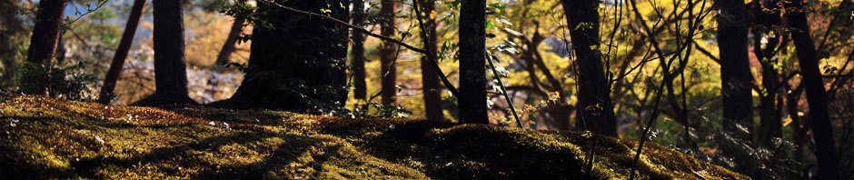
This hike in Tlalixtac territory follows a trail wends its way up into a mountain valley. Highway 175 runs up this same valley from Oaxaca to Tierra Colorada, La Cumbre, Guelatao, Ixtlan de Juarez and more distant points. For many years the route followed a single track footpath, but in 2022 the trail was widened and paved part of the way. The trail runs roughly parallel to the highway, but on the other side of the mountain stream from the roadway. The uphill grade is generally consistent and not particularly steep. This is a pleasant walk in the countryside mainly to get some exercise and enjoy the scenery. The trail is named after the seven water-powered grain mills which once were scattered along the stream. All that is left now are the ruins of one of these, which we will pass along the way. There is no particular end-point to the hike. We usually hike for 90 minutes uphill, then turn around and retrace our route. On most days the total distance traveled on foot amounts to about 6 miles.
Time frame: 8:30 depart Llano Park / 9:00 arrive trailhead & begin hike / 10:30 reach turn-around point / 12:00 finish hike & board vans / 12:15 lunch at lakeside restaurant in Huayapam / 1:30 leave restaurant / 2:00 return to Oaxaca.


